Details
(Thanks to Singh for scouting and writing up this marvellous guide. PM me if you want my mobile number - just in case.)
Meeting Point: Wisemans Ferry Park
Date: 19 June 2005
Meeting Time: 9 am
Start Time: 9:30
Fuel Supplies: Wisemans Ferry, Wollombi
Permits: Yengo National Park does NOT have a park entry fee
Route: Wisemans Ferry ->St. Albans ->Devils Rock ->Finchleys look out -> Wollombi.
Lunch: Bring your own and enjoy the view from the top of Devils rock or Finchleys Lookout.
Track Difficulty: The track, all the way to Devils rock and Finchley’s lookout is quite wide but occasionally you’ll have to engage ‘Low Range’ to traverse certain parts. There is no risk of scraping your underside or getting your sides scratched by branches as long as you pick your line and don’t veer off.
Communications: Mobiles don’t work around this area except a few high points. Bring your Sat phones or UHF radios to communicate with each other (if anyone has these, you'll probably be tail-ending!).
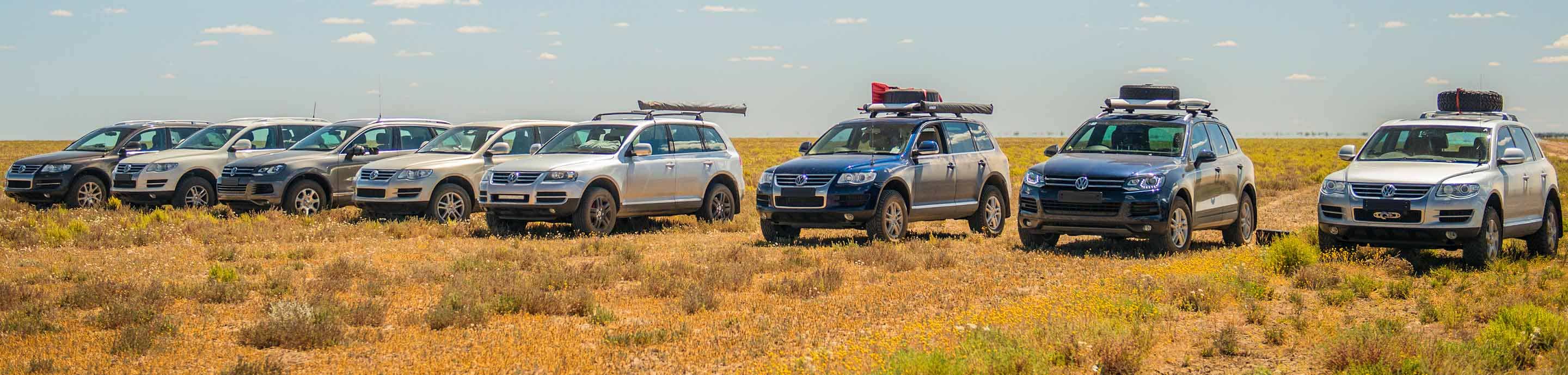
Attendees: Tamashek, Singh, Dodgie, Big Rizz, mac, matthewf, BigVDub, moonan
I think that's all that are coming. We'll meet and greet from 9 until 9.30. I want to see the Nav and bluetooth integration Singh has done so you can all brew up while I break it ;-)
The Trek: From the Park head back west about 1km and at the Y junction turn right towards St. Alban and queue for the ferry 500m on the right. This is the other (northern) Ferry crossing and not the one in front of the Wisemans Ferry Park. There is no cost to Ferry across to the other side.
At the other side of the river follow the road all the way to St. Albans. The track can be dusty so hit the recirc button on your Egg!
Remember to turn onto the old wooden bridge as you reach St. Albans and then turn left and pull up before the Settlers Arms so everyone can catch up and regroup.
We then head West keeping the river on our left and passing the St Albans Cemetery on our right. Approx 18kms we pass the sign post for Yengo National Park 30kms from St Albans, and the Mogo Camping Area is on our right. There are a couple of excellent walks from Mogo camp ground to and along the Old Great North Road and the convict bridge.
35.8kms from the Settlers Arms you come to an intersection and turn left onto a bitumen road. This is the road to Wollombi and you continue on this road for another 2kms and turn left onto a track which is not sign posted but is 37.8kms from St Albans.
For those who have a GPS the coordinates are S:33 05.587 E:151 07.731. At 39.1kms from St Albans there's a track on the right but continue left passing private property and keeping left brings you to a sign post for Yengo National Park and you're on the Mt Simpson track.
We rejoin the main track at the bottom of the hill until you reach a Y junction 47.4kms from St Albans and we keep right.
Turn left on the sign posted road for the Boree Track and pass 3 minor tracks to the right and park at a small clearing on the right. From here, its a short walk to Devils Rock with great views and Aboriginal rock engravings.
Head back on the same track and go straight ahead instead of turning right at the next intersection.
Keep going until you reach another intersection, of Boree and Mt Simpson tracks and turn right and head North along the Boree Track. Turn left at the sign posted Yango Track and and less than 2kms later, you come to the Finchley Camping Area. The Finchley Aboriginal Reserve is on your left which has some excellent examples of rock engravings. Less than 1km further on, you come to a track junction. Turning left takes you to the Howes Range Track but we continue straight ahead to the Finchley Viewing Platform with fantastic 360 degree views. You can also see the flat-topped Mt Yengo mountain to the West.
From the viewing platform we head east along the Finchley track continuing straight ahead for just under 10kms along a steep, narrow and winding road. Veer left at the Y junction and head into Wollombi Village. Wollombi is an excellent place to finish this trek. Spend some time at the Wollombi Tavern or wander round the village or stop for lunch at Anzac Reserve on the road to Cessnock.
Finish Point: Wollombi
Total KM: 95km
Min Days: 1
Main Attractions: Devils Rock, Finchley lookout, Great North Road, rugged scenery, Aboriginal rock art
Supplies/Facilities: Wisemans Ferry, Wollombi
Map:
http://www.4wdaustralia.com.au/Images/TrekNotes/Syd/Yengo_map.gif

")


